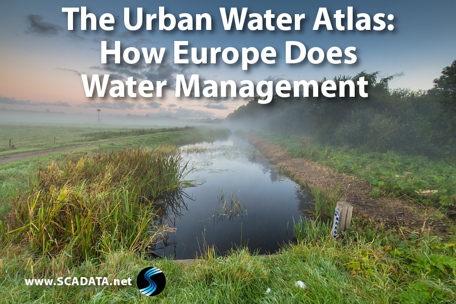
On April 27, 2017, the European Commission published the Urban Water Atlas. The atlas lists factors that affect water management choices across Europe. The first of its kind, this document describes how factors such as climate, food choices, weather patterns, and other related issues affect the sustainability of water in European cities.
According to Water and Wastewater International, more than 40 European cities and regions, combined with other overseas examples, are presented in detailed factsheets.
The atlas is an attempt to involve the public in understanding and taking action with regards to water sustainability. Provided in an easily digestible format, the document makes use of infographics to provide information at a glance. The atlas compiles information and presents it in these formats:
- City Blueprint: The document includes a City Blueprint for each area. The blueprint shows 25 indicators related to water, waste, and climate change. With one glance, you can see how well a city is performing and quickly asses which areas need more attention. The composite index was developed by KWR Watercycle Research Institute.
- Urban Water Footprint: The document also includes an Urban Water Footprint to illustrate how domestic water is used in the preparation and care of agricultural products. The idea behind this measurement is to provide citizens with a realistic understanding of how diet choices impact water usage.
In addition to the atlas, two online tools are available to help the public grasp the impact of water usage in European cities:
- City Blueprint: This interactive tool is intended to provide easy access to the public and reveals quickly where a city’s strong and weak points lie in regards to water usage. Currently, this tool offers information on 50 cities in 30 different countries.
- City Amberprint: The City Amberprint aims to educate the public on issues related to greenhouse gases and pollution. This tool shows the public how dangerous gases affect cities and helps them identify areas for improvement. The goal is to create smarter and more sustainable cities.
The document not only integrates the data compiled by scientists, it also combines the efforts of multiple stakeholders, artists, teachers, politicians, and even schoolchildren. The hope is that the information will be more easily accessible when coming from multiple perspectives and will give local residents a sense of ownership over the cities they inhabit. Amsterdam currently emerged with the highest score due to its attention to water management and use of innovative practices in wastewater.
These online tools listed above do not stand alone. The atlas includes other information regarding innovations and best practices to help guide citizens on their journey to a more sustainable future.
The purpose of the atlas is to emphasize the need for global attention to water usage practices and the need for sustainability. What can you do? Check out our post for more tips on conserving water in your home.